|
VISUAL RADAR INDO
|
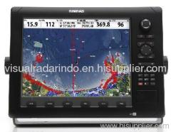
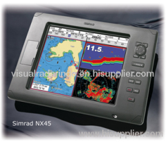
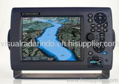
Navigation Radar boat
| Price: | 2199.0~2200.0 USD |
| Payment Terms: | T/T,D/P,WU;MoneyGram |
|
|
|
| Add to My Favorites | |
| HiSupplier Escrow |
Product Detail
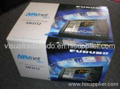
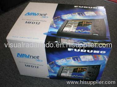
FURUNO MFD12 NAVNET3D 12.1" COLOR DISPLAY NEW in BOX
NavNet 3D uses a cutting-edge technology we've named "Time Zero." Time
Zero facilitates instant chart redraw, allowing for zooming in and
out, changing chart display modes and other chart handling functions
seamlessly and with no lag at all. Time Zero brings you a truly
seamless navigation environment you have to experience to believe
FURUNO NavNet 3D Digital Solution sets a new standard.
NavNet 3D operates in a fully digital environment with its highly
sensitive digital sensors for radar and fish finder. The operating
structure is also digitized, delivering total fusion of hardware and
software modules in its operating scheme.
Pre-loaded with NOAA raster chart library for entire U.S. coastline
including Alaska and Hawaii
TimeZero: technology facilitates instant chart redraw, allowing
zooming in and out, chart panning, changing chart display modes and
other chart handling functions seamlessly and with no lag time
Full Time 3D chart rendering. Choose a 2D top-down view of the
navigation chart for a traditional chart plotting presentation, or
choose to pan and zoom the chart to any angle at any range scale you
choose
Pan the chart using the scroll pad, and then instantly return to own
ship at the touch of a single dedicated key
Zoom seamlessly and continuously to whatever chart scale you desire -
TimeZero: architecture allows you to seamlessly zoom in or out to the
exact magnification level you like without steps or limitations
No "3D mode" to change into and no waiting - Navnet 3D operates in a
3D environment full-time
Fuse satellite photography with raster or vector chart information.
Land areas (zero depth) are completely opaque, so that these areas are
displayed as high-resolution satellite photos on the chart. As the
depth increases, the satellite photography becomes more transparent so
that you will know where the shallows end and the deeper water starts,
while allowing the raster or vector chart to be visible
More than 12,000 ship's track points and over 2,000 waypoints
200 planned routes, with up to 100 waypoints/route
Preloaded tides & currents
Engine monitoring
Built-in ARPA processor can simultaneously acquire and track up to 30
targets (with appropriate sensor)
AIS tracking when connected to AIS receiver
True color depth shading utilizing bathymetric data
Standard video input and outputs
package unit included with :
-MFD12 Display 12.1"
-DSM300 Sounder Module
-Radome 48miles
-Crossover Coupler E55060
-Bronze transducer 21/5 low profile with high speed fairing block-radome
-precharged plotter unit for Europe
-Gp330B-GPS-DFF1-525 TID-LTD/12
Didn't find what you're looking for?
Post Buying Lead or contact
HiSupplier Customer Service Center
for help!
Related Search
Navigation
Radar Detectors
Boat
Radar Laser Detector
Parking Radar Detector
Speed Radar Detector
More>>
Find more related products in following catalogs on Hisupplier.com
Company Info
VISUAL RADAR INDO [Indonesia]
Business Type:Distributor/Wholesaler, Other
City: Jakarta
Province/State: Nort Java
Country/Region: Indonesia